
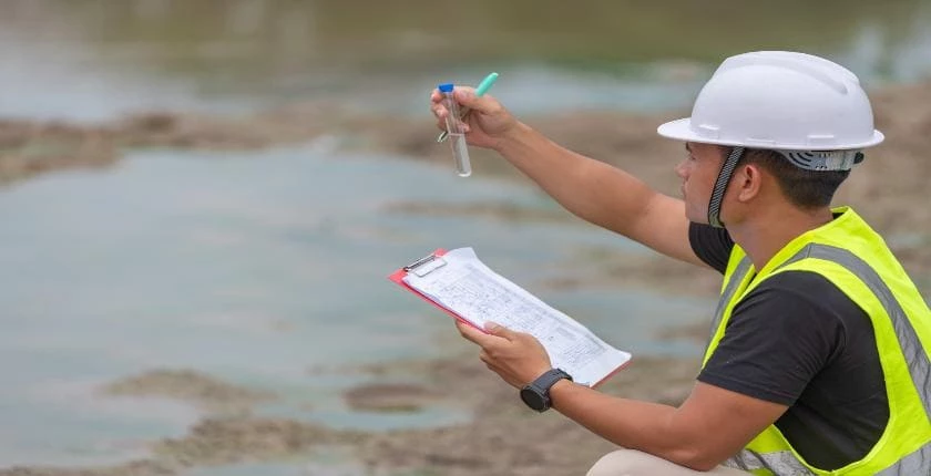
Hydrology & Hydraulic Assessments
Get in touchThe Flood Protection Associates provides hydrology and hydraulic assessments to help clients understand water behaviour, flood risks and drainage impacts. The service supports planning applications, flood risk assessments and sustainable development decisions through detailed technical analysis.
What Are Hydrology & Hydraulic Assessments?
Hydrology and hydraulic assessments are technical studies that analyse rainfall, water flow and flood behaviour to understand how water moves through a site or catchment area. The Flood Protection Associates uses assessment methods to support drainage design, flood mitigation and planning decisions.
Hydrology focuses on the movement, volume and timing of water entering a system, while hydraulic assessments examine how water flows through rivers, drainage networks and flood areas. Together, these assessments provide evidence for managing surface water and flood risks.
What Types of Hydrology & Hydraulic Assessments Are Available?
The Flood Protection Associates provides hydrology and hydraulic assessments covering different flood and drainage requirements. Each assessment type focuses on understanding specific water-related risks and development impacts.
Flood risk modelling assessments – Analyse potential flooding scenarios using rainfall and water flow data.
Surface water assessments – Evaluate how rainfall runoff affects land, drainage systems and surrounding areas.
River and catchment assessments – Study water movement through rivers, streams and wider catchment areas.
Drainage impact assessments – Review how proposed developments affect existing drainage infrastructure.
Hydraulic modelling assessments – Use computer-based models to predict water behaviour during different flood events.
When Are Hydrology & Hydraulic Assessments Needed?
Hydrology and hydraulic assessments are needed when developments, drainage changes or flood risks require detailed analysis of water movement. The Flood Protection Associates supports projects where understanding flood behaviour is necessary for informed planning and design.
Assessments are commonly required for:
New residential and commercial developments
Sites located near rivers, watercourses or flood zones
Projects requiring sustainable drainage systems (SuDS)
Planning applications involving drainage changes
Areas affected by surface water flooding
The requirement for assessment depends on site conditions, local planning requirements and the scale of the proposed works.
How Do Hydrology & Hydraulic Assessments Work?
Hydrology and hydraulic assessments work by analysing site data, modelling water behaviour and producing technical findings. The Flood Protection Associates follows a structured assessment process to identify flood risks and drainage requirements.
Site and data review – Existing information, rainfall data, topography and drainage details are assessed.
Hydrological analysis – Water volumes, rainfall patterns and runoff rates are calculated.
Hydraulic modelling – Computer models simulate water movement through relevant systems.
Risk assessment – Flood impacts and potential drainage issues are identified.
Technical reporting – Findings are presented within a detailed assessment document.
Assessment timescales typically range from 2 to 8 weeks depending on project complexity, available data and modelling requirements.
Who Needs Hydrology & Hydraulic Assessments?
Hydrology and hydraulic assessments are used by developers, planners and organisations that require accurate information about flood risks and water management. The Flood Protection Associates supports projects where drainage performance and flood resilience need technical evaluation.
Common clients include:
Property developers
Commercial construction teams
Local authorities
Architects and planning consultants
Infrastructure projects
Landowners managing development proposals
The assessment helps decision-makers understand water-related constraints before construction or drainage works begin.
How Much Do Hydrology & Hydraulic Assessments Cost?
Hydrology and hydraulic assessments typically cost from around £1,500 to £10,000 depending on the assessment scope, site complexity and level of modelling required. The Flood Protection Associates provides project-specific quotations based on individual requirements.
Typical cost factors include:
Small assessment projects – around £1,500 to £3,000 for straightforward drainage or flood reviews.
Medium complexity assessments – around £3,000 to £7,000 where detailed modelling and analysis are required.
Large-scale modelling projects – around £7,000 to £10,000+ for extensive catchment studies or complex developments.
The final cost depends on factors such as survey requirements, available data, modelling software needs and reporting detail.
What Are the Benefits of Hydrology & Hydraulic Assessments?
Hydrology and hydraulic assessments provide technical information that helps identify flood risks and support effective drainage decisions. The Flood Protection Associates uses these assessments to improve understanding of water behaviour before development or mitigation works.
Benefits include:
Improved understanding of flood risks and water movement
Support for planning applications and drainage approvals
Better-informed sustainable drainage system (SuDS) designs
Identification of potential flood mitigation measures
Reduced uncertainty during development planning
Detailed assessments help create solutions that consider both current conditions and future flood challenges.
What Regulations Apply to Hydrology & Hydraulic Assessments?
Hydrology and hydraulic assessments support compliance with UK planning and flood risk management requirements. The Flood Protection Associates considers relevant guidance including flood risk policies and sustainable drainage requirements where applicable.
Relevant considerations may include:
National Planning Policy Framework (NPPF) flood risk guidance
Environment Agency flood risk requirements
Local planning authority drainage policies
Sustainable drainage system (SuDS) standards
Specific requirements vary depending on site location, development type and planning conditions.
Hydrology & Hydraulic Assessments: Frequently Asked Questions
How Long Do Hydrology & Hydraulic Assessments Take?
Hydrology and hydraulic assessments typically take between 2 and 8 weeks to complete. The timeframe depends on project size, data availability, modelling complexity and whether additional surveys are required.
How Much Does a Hydrology & Hydraulic Assessment Cost?
Hydrology and hydraulic assessments usually cost from around £1,500 to £10,000. The final price depends on site conditions, modelling requirements, reporting needs and the complexity of the flood analysis.
Are Hydrology & Hydraulic Assessments Required for Planning?
Hydrology and hydraulic assessments may be required for planning applications involving flood risk, drainage changes or developments near watercourses. Requirements depend on local authority guidance and individual site circumstances.
How Long Are Hydrology & Hydraulic Assessment Reports Valid?
Hydrology and hydraulic assessment reports do not have a fixed lifespan because validity depends on changes to site conditions, planning requirements and updated flood information. Reports may need updating after significant changes.
Who Can Benefit From Hydrology & Hydraulic Assessments?
Hydrology and hydraulic assessments benefit developers, consultants, landowners and organisations planning projects where water flow, drainage or flood risk information is required before decisions are made.
Get a Free Quote for Hydrology & Hydraulic Assessments
The Flood Protection Associates provides hydrology and hydraulic assessments to support flood risk evaluation, drainage planning and development decisions. Contact the team to discuss your assessment requirements and receive a project-specific quotation.
Related Hydrology & Hydraulic Assessments Services
Hydrological analysis provides the foundation for flood modelling and hydraulic modelling, supplying accurate rainfall, runoff and catchment data.
These assessments also support Flood Risk Assessments, helping evaluate flood sources and potential impacts on development sites.
Surface water management is improved through surface water drainage assessments, ensuring runoff is effectively controlled.
Drainage infrastructure can then be incorporated into drainage strategy and drainage statements for planning submissions.
Where sustainable drainage is proposed, our SuDS design service develops practical and compliant drainage solutions.
Additional resilience can be achieved through climate change allowance assessments, ensuring hydraulic calculations reflect future rainfall projections.